


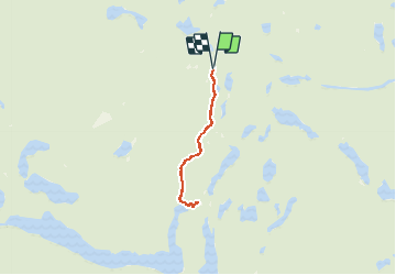
Wikiloc - High Falls

Alizée.pee
User GUIDE


2h29
Difficulty : Medium

FREE GPS app for hiking
 SityTrail
IGN / Geographical institutes
SityTrail World
The world is yours!
About
Trail Walking of 8.8 km to be discovered at Ontario, Nipissing District, Unorganized South Nipissing. This trail is proposed by Alizée.pee.
Description
High Falls est l'une des attractions phares du parc Algonquin. Le sentier est bien marqué et il y a beaucoup de végétations à voir. En été, vous aurez la chance de pouvoir nager ainsi que de vous retrouver devant un toboggan naturel, compliqué de résister ! Il ne faut surtout pas oublier de passer voir "High Falls", qui est à voir !
Positioning
Comments
Trails nearby